Snowdonia Way Trek
A long distance walk through the Snowdonia National Park
Snowdonia was one of the first areas to receive National Park status in 1951, with the tallest mountain in Wales and tremendous diverse landscapes created by volcanoes and glaciation it is easy to understand why. The area has impressive mountains, large expanses of woodland, beautiful gorges, miles of coastline, waterfalls and plentiful remnants from a slate industrial past. What better way to experience the area than to walk from Machynlleth in the South to Conwy in the North on a less well known long distance walking route that is the Snowdonia Way .
Day 1
The first day saw us walk 24.7km with 407m of height gain. The trek started crossing the River Dovey and followed the Corris railway along the valley floor that linked the old mining towns of Corris and Aberllefenni to Machynlleth. Slate mining has a long history in Wales and was dramatically visible as we passed a huge cavernous abandoned mine while walking through the spoil heaps en route. On a very hot summers day the air conditioning effect as air moved through air gaps in the spoils did not go unnoticed or unappreciated!
The walk ascended for a good 3km and we all suffered in the afternoon heat, everyone found their pace, stuck to it and came across the top of the col warmly welcomed by everyone else. The rest of the days walking had great views of Cadair Idris, both the east and north face.
Day 2
The start to the day certainly got the legs firing with a steep climb out of the village. Within no time we had crossed Afon Mawddach and started to rise higher and higher above the valley floor. It wasn’t until we left the woods that the efforts of climbing were rewarded with views of the river and Foel Cynwch.
After descending through beautiful deciduous National Trust owned woods we headed into the woodland of the King (Coed y Brenin). The woodland is better known as North Wales premier mountain biking centre and the number of bikes around certainly gave that impression too. Walking through woodland for any length of time can be a bit monotonous when there are no views and the 250 metres of ascent weren’t helping. When we finally came out the other side though the view across the moorland, onto Llyn Trawsfynydd and beyond, deserved a rest and a moment to savour. We descended from Craig-Y-Penmaen and continued on for the last 5km to Trawsfyndd through agricultural farm yards and fields.
Day 3
Starting the day walking along the Llyn Trawsfynydd’s (a man made reservoir’s) 200 metre bridge with low cloud and drizzle felt like an ominous start to what would be the longest day’s walking on the trek
(29.5km, 930m). After passing the reservoir we followed the deep gorge of Llennyrch through fields of bog myrtle. The name would suggest wet feet but after the summer we have had so far our feet were anything but wet. After a short slippery stream crossing, the walk ascended out of a forest and onto open land.
The route took us onto Wales’ coast path and great views down to the sea. Walking up the valley away from the sea led to further forest paths before the views ahead opened up and a chance to get a good look of Snowdonia’s Matterhorn, Cnict. Its a perfectly shaped pyramidal mountain
that is often overlooked due to some of the taller mountains in Snowdonia national park
but should be on everyones list to visit.
The day had already been long and the pace understandingly slowed as we traversed along the uneven stones that make up the pass of Aberglasslyn. It’s certainly a spectacular way to enter the village of Beddgelert where a well earned rest for everyone waited after a long 11 hour da.
Day 4
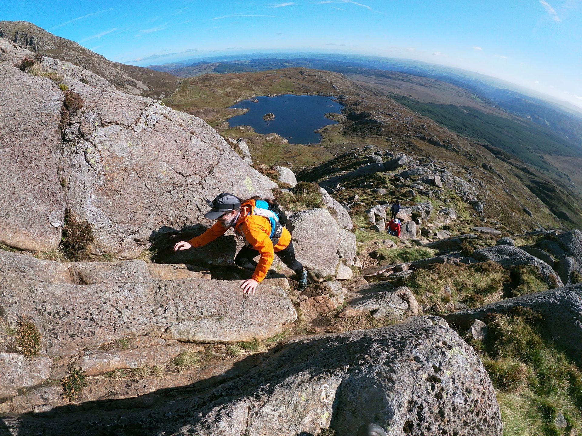
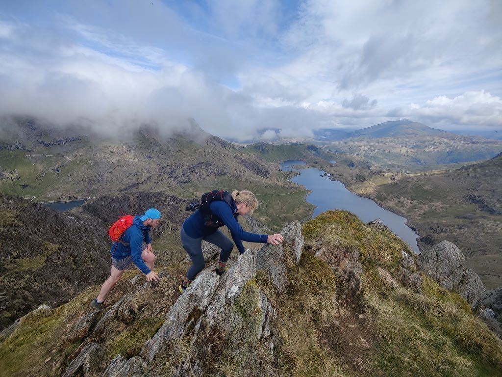
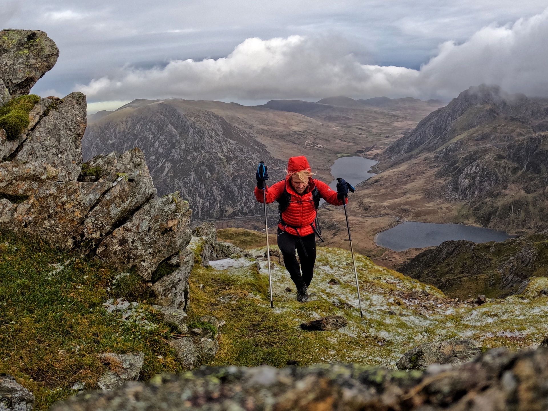
The start of the day was a mellow 10km walk upstream passing two natural lakes with mountains on all sides. After lunch by the river the day was about to get a lot tougher with 300m height gain in under 2km. The higher we walked the better the views of Crib Goch and the tallest mountain in these lands, Snowden, which spurred the group on to the top.
Once over the Col we waved goodbye to the views over Snowden and started down towards Dolwyddelan. The cumulative effect of a number of long days definitely took its toll on the group and every undulation was felt including the last 50 m climb before Dolwyddelan castle.
Day 5
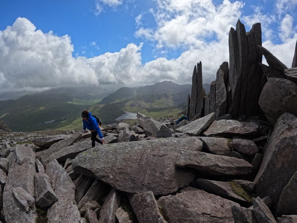
This was the day that many had been looking forward to, its a great low level walk through the Ogwen valley with views over the Carneddau and the Glyders.
We started walking steeply uphill out of Dolwyddelan on forest tracks that warmed our tired legs but kept us nice and cool as temperatures outside the forest started to rise. On leaving the forest we had great views of Moel Siabod which we contoured until dropping into Capel Curig. The next 6 km were simply spectacular, views of Snowden, Tryfan, Pen yr Ole Wen to name just a few of the 3,000ft peaks visible in the clear skies.
We crossed over to the other side of the valley and followed Llyn Ogwen around it’s North side, who’s path was more akin to the uneven, rock hopping paths you see on the way up to many of the peaks in the Snowden national park. Thankfully the RAF had got my text and right on cue one of their fighter jets screamed past us banking from one side to the other like a scene out of Top Gun - “I feel the need for speed!” (for all the top gun fans out there!).
In the afternoon the route continued down the valley towards Bethesda. We pasted swathes of slate spoil due to only 10% of slate mined being useable for milling and past an insanely long zip wire across the mine. Another day finished and one that I hope will stay with the team for a very long time as it certainly didn’t disappoint.
Day 6
Another hill start this morning and no-one even broke a sweat as they steamed up the 200m ascent to just below Moel Faban. Contouring around the northern slopes of the Carnedau gave views of Anglesey, puffin island, numerous wild ponies and the sea. The terrain under foot as we contoured was perfect for walking and within no time at all a corner was turned and our first glimpse of Aber Falls, a 35m waterfall were seen. When we arrived there was a great spot to sit on the grass, admire the view and eat our lunch.
As the clouds from the west thickened we started the 350m ascent that would take us out of the valley and bring us close to the finish for the day, Llanfairfechen. With only a couple of kilometres to go it rained which was the first time since we started the trek 6 days ago, it wasn’t heavy but it rained enough that the smell of Petrichor was in the air… that refreshing smell after rainfall that I personally love.
Day 7
As was the usual patten we started the day up a good hill and onto stunning moorland with ancient stone circles, fantastic views over the sea and the contrasting colours of gorse, heather and bracken.
After dropping down to Sychnant Pass our last last ascent of our trip was ahead and the descent to Conwy with views of the castle and walls that surround the town. Sometimes trails can feel like an anticlimax at the end but this one doesn’t. Having travelled nearly 100 miles north through the Snowdonia National Park, finishing by the sea with no where further to go and a spectacular looking castle was no anti climax.
6 people started the 97 miles as strangers but through the shared effort, a common interest and plenty of time to exchange stories they no doubt have left as friends.