
Nantlle Ridge
Far from the throngs of Snowden lyes the sleepy village of Beddgelert and Rhyd-Ddu, here the mountains are smaller and grassier but this is one of the finest ridges in the country
Overview of the Run
This is a fine, very runnable, ridge line that commands great views over Snowden, Cnict and out to the sea. If you have multiple vehicles you can do this route as a point to point but the ridge is not that long and so good it’s worth reserving it and doing it twice.
16.6km (10.31miles)
1,289m
Moderate / 1-
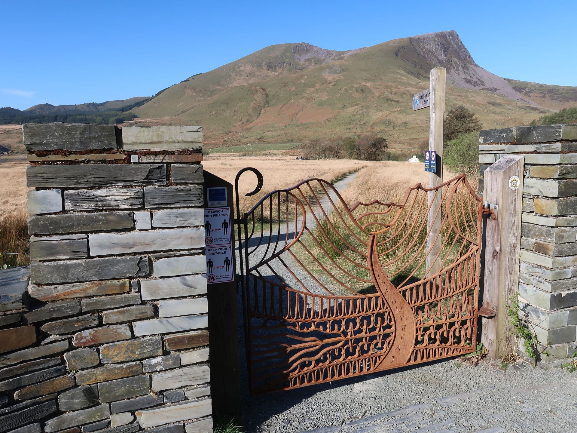
Approach
The Nantlle ridge is accessed from Rhy-Ddu 3.5 miles North of Beddgelert. From multiple stops in Llanberis the S2 - Snowdon sherpa bus runs to Pen-Y-Pass. Change buses here to the S4 which runs to Rhyd Ddu and drops you at the carpark where the route starts.
From Llanberis drive over the Llanberis Pass on the A4086. Turn right at the Pen-y-Gwryd Hotel onto the A498 signposted for Porthmadog. Drive down the valley for 11 miles passing Beddgelert and park on the right after the village signpost for Rhy-Ddu in the station car park.
Toilet’s are found at the pay and display car park in Rhy-Ddu and the village has a nice pub, Cwellyn Arms, serving food and drink. In Beddgelert there are a number of shops, cafes, restaurants and pubs.
Route Description
1.
Opposite the carpark run along the path signposted for Beddgelert crossing over Afon Gwyrfai. Shortly (30m) after the bridge take the path heading away from Llyn-y-Gader towards the A4418. At the road join the bridleway in the direction of the summits of Mynydd Drws-y-Coed and Y Garn. Follow the bridleway around farm land and continue to head towards the mountains where there is a fork. After a short rise the path splits next to a single wooden post, take the faint but obvious path heading up the steep grassy shoulder of Y Garn. Near the summit the path ends with a band of broken rocks that can be taken directly or skirted around on the left, either way aiming for a stile over the dry stone wall leading on to the summit.
2.
From the summit the ridge towards Mynydd Drws-y-Coed is obvious following the dry stone wall on its right hand side. At the walls end stay on the ridge negotiating rock steps and sections of scrambling. The ridge soon turns into a grassy rib leading to a stile over a fence and the summit that is nothing more than a grassy high point.
3.
The route heads down to the Col between the mountains where it soon splits. One path leads to the subsidiary summit of Trum y Ddysgl while the other takes a slightly more direct route missing the summit, but makes very little difference to the run either way. The two paths rejoin on a large grassy plateau where the obvious summit obelisk on Mynydd-Tal-y-mignedd can be seen. Run down to the col where it becomes narrow with impressive drops on either side requiring care. Head to the dry stone wall towards the summit keeping on its right hand side where there is a gate leading to the obelisk.
4.
Now follow the fence that runs in a southerly direction on its right hand side. Ignore the stile at around 500m before the descent steepens with technical sections requiring concentration. There are another 2 stiles in the fence, again ignore them, before reaching a 30 metre rock buttress where the path splits. Take the right hand path heading away from the buttress skirting its right hand side through heather, bilberries and over rocks. The path reaches the ridge at a small wall between two rock outcrops that guards the entrance to a narrow gulley. It is possible to scramble up the buttress starting at the rock prow 10 metres right of the stone wall at an obvious V. Scramble up the right hand side of the prow trending rightwards continually to avoid any difficulties. Once a narrow grassy plateau is reached head left to the stone wall and continue scrambling to the top of the buttress joining the path at the narrow gulley. Continue up the obvious path on the ridge scrambling over easy rock steps before the ridge broadens. Keep to the path and veer to the right of broken ground where the path is not obvious before passing a semi circle stone shelter and 240m further on the summit cairn.
5.
Take the right hand path heading away from the buttress skirting its right hand side through heather, bilberries and over rocks. The path reaches the ridge at a small wall between two rock outcrops that guards the entrance to a narrow gulley. It is possible to scramble up the buttress starting at the rock prow 10 metres right of the stone wall at an obvious V. Scramble up the right hand side of the prow trending rightwards continually to avoid any difficulties. Once a narrow grassy plateau is reached head left to the stone wall and continue scrambling to the top of the buttress joining the path at the narrow gulley. Continue up the obvious path on the ridge scrambling over easy rock steps before the ridge broadens. Keep to the path and veer to the right of broken ground where the path is not obvious before passing a semi circle stone shelter and 240m further on the summit cairn.
6.
From the summit head in a south westerly direction aiming for the obvious right angle in the stone wall 800 meters in the distance. At the wall, head over the stile and keep to the right hand side of the wall. The summit trig point is clearly visible however when the ground becomes littered with rocks the best line is to not go direct. Instead skirt these rocks on the right hand side and climb the wall via a stile to the summit.
7.
From here reverse the route in its entirety with the summits of Mynydd Tal-y-mignedd and Trum y Ddysgl being bypassed via paths that contour the summits.


About this guide
Sky running is an extreme form of mountain running that includes using hands and feet (scrambling) to tackle technical terrain such as rocky ridges and ribs in breathtaking settings. Running in the mountains is an activity with a danger of personal injury. Participants in these activities should be aware of and accept these risks and be responsible for their own actions. If you don't feel you have the skills or experience for this route you should seek professional assistance.