
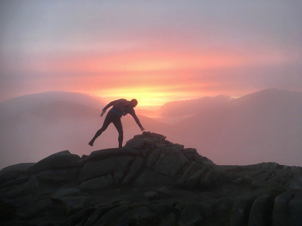
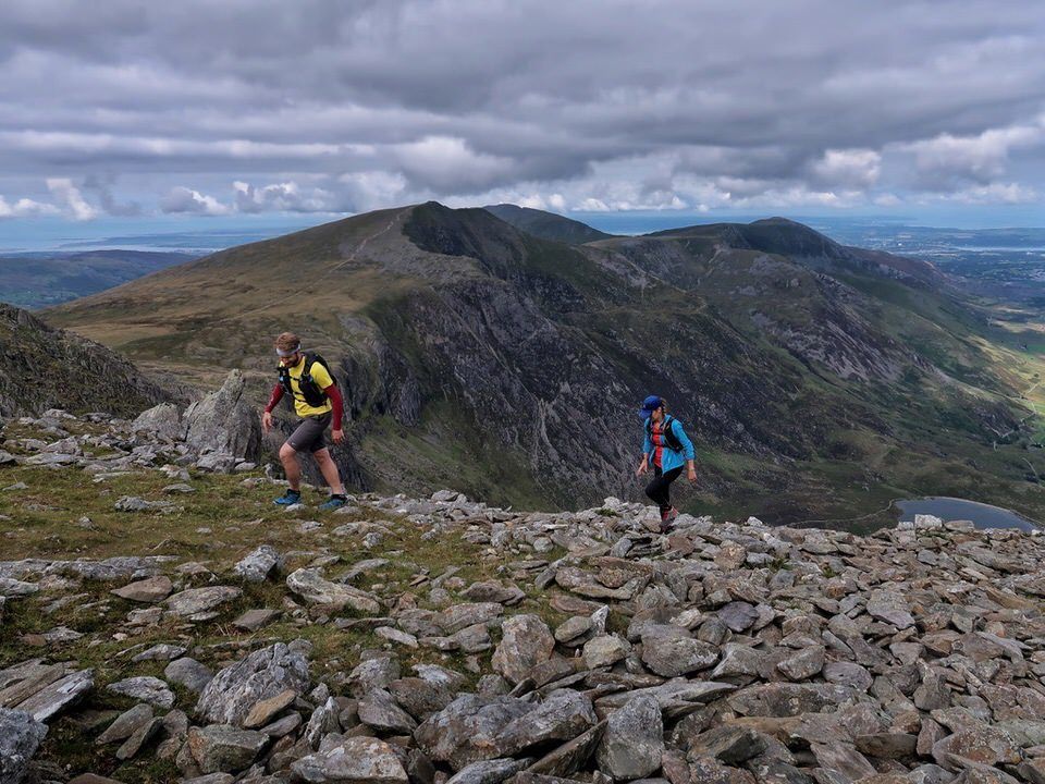
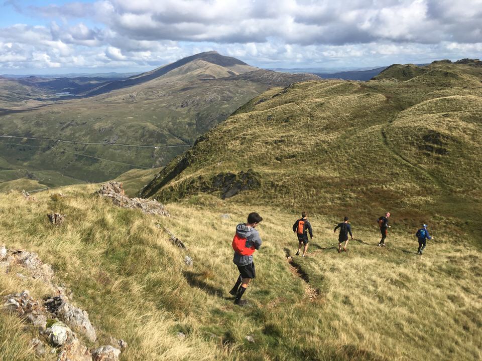
Llyn Padarn Skyline
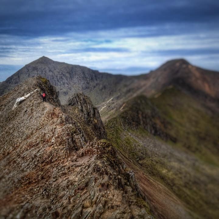
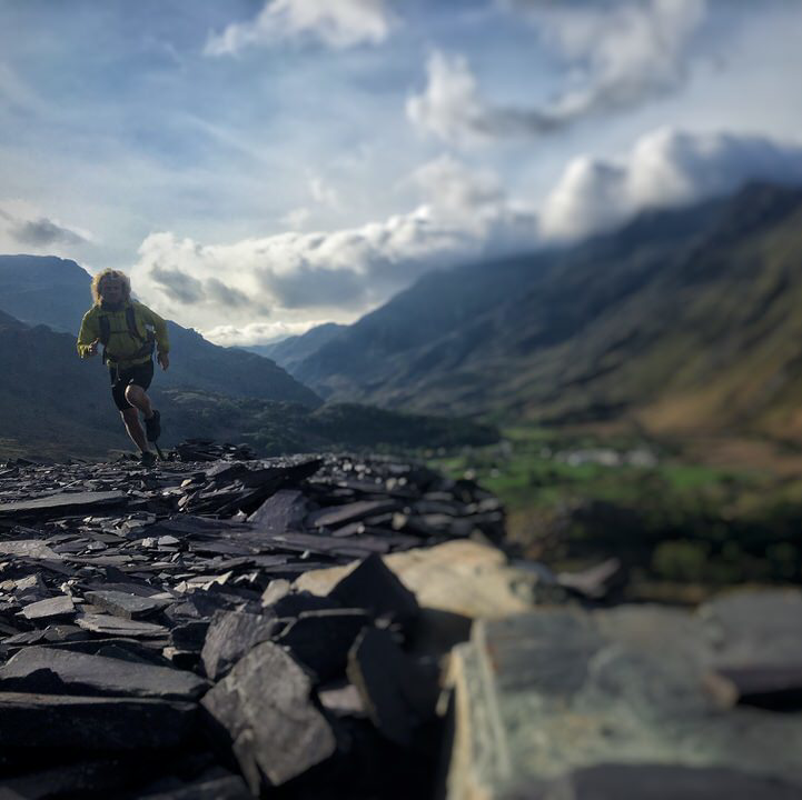
A beautiful run in the shadow of Wales' tallest mountain with quality scrambling, sublime views and a grassy descent that you'll want to do over and over again.
39km (24.2 miles)
3,178m
Difficult / 1+
Starting and finishing at the outlet of Llyn Padarn (SH 559 623) in Brynrefail the object of this round is to visit the 12 summits making up the hydrological catchment of the Llyn. The mountain tops can be visited in a clockwise or anti clockwise direction while respecting private land and adhering to rights-of-way and access land. There is no time limit on this round and all successful completions can be logged on the leader board on this page.
A higher resolution pdf map showing the control points can be accessed below

The round is timed as a continuous loop that includes, stops, breaks or delays. A winter round is deemed as being during the months of December, January and February.
Summits to be visited on the round are:
- Elidir Fach (795m) - SH 604 613
- Elidir Fawr (924m) - SH 612 613
- Mynydd Perfedd (812m) - SH 623 618
- Foel-goch (831m) - SH 628 611
- Y Garn (947m) - SH 630 595
- Glyder Fawr (1001m) - SH 642 579
- Crib Goch (923m) - SH 624 551
- Garnedd Ugain (1065m) - SH 610 551
- Moel Cynghorion (674m) - SH 586 563
- Foel Goch (605m) - SH 570 563
- Moel Elio (726m) - SH 556 577
- Cefn-du (442m) - SH 549 603
As with all mountain runs its important to be prepared for any weather, this run is through mountainous areas and the weather can be very unpredictable.
Registering the Round
To register for the round and be added to our leader board email the date of your attempt and an anticipated start time before the run and
supply a GPX track or link to Strava, or similar tracking app (with 'total elapsed time') after the round to
adventureawaitsuk@icloud.com